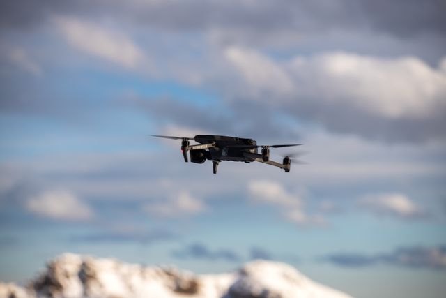
NEW YORK, November 12, 2026 – Catch a rogue quadcopter buzzing around the Potomac River during a weekday afternoon, and you have mere seconds before it enters airspace controlled by the government.
Determining which agency possessed the statutory authority to do something about that aircraft used to be a convoluted process. One agency monitored the radar, while another agency had the legal authority to do anything. Local law enforcement officers on the ground would watch the sky but could not communicate via radio frequency. This plan of action is now being revamped as federal security planners move away from the temporary event-by-event perimeters and toward permanent anti-drone infrastructure in the capital area.
Seconds to react. Zero room for jurisdictional turf wars.
As noted by Homeland Security Today, various federal agencies have ramped up their efforts to coordinate Counter-Unmanned Aircraft Systems to protect critical infrastructure and congested urban environments. Rather than viewing C-UAS defense as a temporary security measure that comes out during presidential inaugurals or Fourth of July fireworks at the National Mall, Washington is building a framework of persistent sensors, shared telemetry, and coordination procedures.
The key challenge lies here: detecting a low-end commercial drone is just one aspect of the problem. Standard commercial drones weighing less than two pounds will not show up on air traffic radar and will blend in with urban clutter such as office buildings and bridges. With the Federal Aviation Administration, Department of Homeland Security, and Department of Defence each having their own data stream, a sensor hit in Northern Virginia is of little use if it doesn’t get to the tactical operations center in D.C. in time to matter.
Defense and homeland security officials have repeatedly stressed that real-time data fusion, combining radio frequency detection, electro-optical cameras, and radar hits into one common operating picture, is the key to the difference between an ordinary interception and a serious security threat.
Still, maintaining a persistent counter-drone shield against any electronic activity in a large metropolitan area isn’t an easy task by itself, and to be honest, there’s definitely a concern among privacy activists and aviators. Who gets to authorize radio-frequency mitigation when commercial delivery drones, media helicopters, and hobbyists all share the same low-altitude corridor? Even federal authorities have admitted that statutory jurisdiction has failed sometimes to keep up with fast-evolving technologies and inexpensive UAVs; Congress has been discussing for quite a while what kind of measures could be taken without interfering with federal jurisdiction of airspace.
But the United States Capitol City is not alone in calculating these numbers. Water treatment facilities, power stations, and transport hubs located across the country have similar vulnerabilities at low altitude. The interagency architecture developed in the District of Columbia serves as a guideline for how big U.S. cities will control their airspace within ten years.